TOPOMAR
TOPOGRAFOS
PARCEL SURVEY AND CADASTRAL PROBLEMS RESOLUTIONS
"The engineer is the professional Surveying Geomatics, among other practices in the area of Land and Property in defining physical reality and morphological Territory plainly essential to guarantee property rights concerning delimitation of the same. "

COMMON PROBLEMS IN RUSTIC AND URBAN PROPERTIES
Do you have a cadastral discrepancy or not match the surface geometry or type of crop?
Your owner registry description is not what you really have, you want to change it?
Your property has no well-defined boundaries.
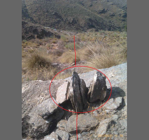
Your parcel is surveyed with boundaries marked. MILESTONES SALES
Your neighbor wants to modify the edge which does not agree.
You have to make an allotment, segregation, grouping.
Inheritance: Measurement, subdivisions, roads.
His farm house is not legal.
Will you be expropiate and want to make sure as it will remove and pay.
You don't know where is your parcel.
Easements: I have cut way back, or it has made half of his estate.
Certificates of surfaces for administrative licenses.
Embargoes: Localization and identification of foreclosed properties.
Lawsuits: Expert reports, testifications.
Topographic profiles, curved architectural project takeoffs.
If you have any of these problems and want to fix please call or send us a query.
